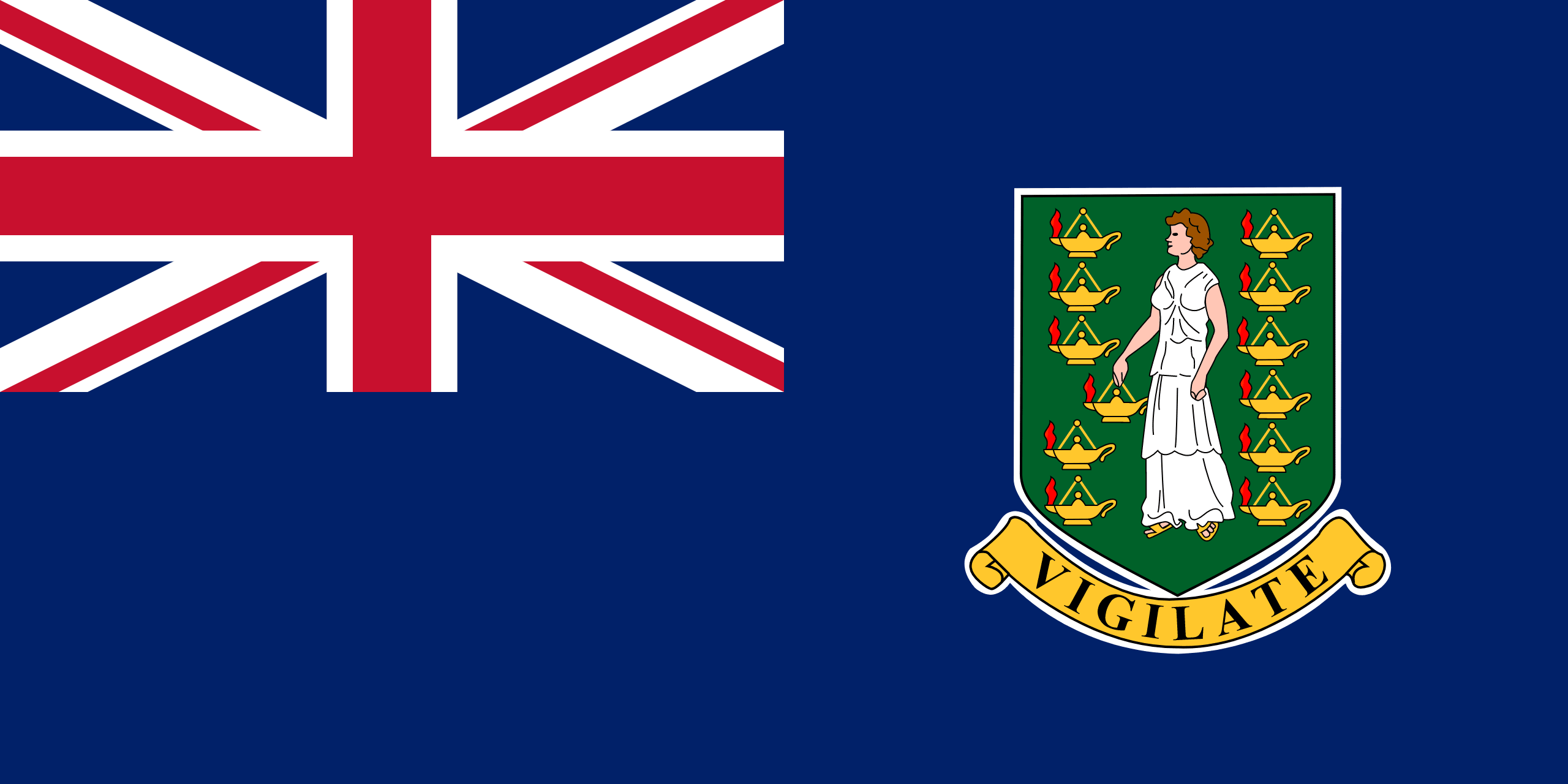
 BRITISH VIRGIN ISLANDS
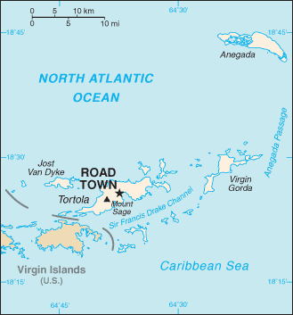
The British Virgin Islands (BVI) comprise around 60 tropical Caribbean islands, ranging in size from the largest, Tortola 20 km long and 5 km wide, to tiny uninhabited islets. They are located in the Virgin Islands archipelago, a few miles east of the U.S. Virgin Islands.
Most of the islands are volcanic in origin and have a hilly, rugged terrain. Anegada is geologically distinct from the rest of the group and is a flat island composed of limestone and coral.
The four main islands are Tortola, Virgin Gorda, Anegada and Jost Van Dyke. Tortola, the largest of the 16 inhabited islands, is home to more than three quarters of the population.
When Christopher Columbus sighted the islands in 1493, the islands were said to have reminded him of the story of Saint Ursula, and that is how the islands got their name.
Tourism and offshore finance dominate the economy. With its agreeable climate, tranquil and clear waters, yachting and water sports, it is easy to see why the BVI is a popular destination.